
HOME
INTRO
SYMBOLS
ALMANAC
ECONOMY
GEOGRAPHY
STATE MAPS
PEOPLE
COUNTIES
GOVERNMENT
FORUM
NEWS
COOL SCHOOLS
STATE QUIZ
STATE LINKS
BOOK STORE
MARKETPLACE
NETSTATE.STORE
NETSTATE.MALL
GUESTBOOK
CONTACT US


Tweet
Double click on word for definition.
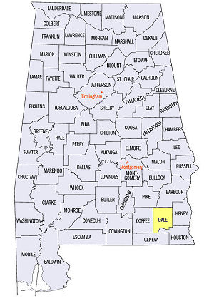
Coffee County Location
View Larger Map
The map to the right shows the location of Coffee County within the State of Alabama.
Coffee County is located in southeastern Alabama within the East Gulf Coastal Plain physiographic region. The Pea River runs north to south through the center of the county. The Pea River is the largest tributary of the Choctawhatchee River.
Coffee County was established by an Act of the Alabama Legislature on December 29, 1841. It was formed from a part of Dale County, its eastern neighbor.
The county was named for General John Coffee a veteran of the War of 1812, the Creek War of 1813-1814 and the Battle of New Orleans. He had served under Andrew Jackson.
The first county seat was established in Wellborn. In 1852, the county seat was moved to the town of Elba, formerly called Bentonville. The town's name, Elba, drawn from a hat in December, 1851, became official in 1852.
University of Alabama
Cartographic Research Lab
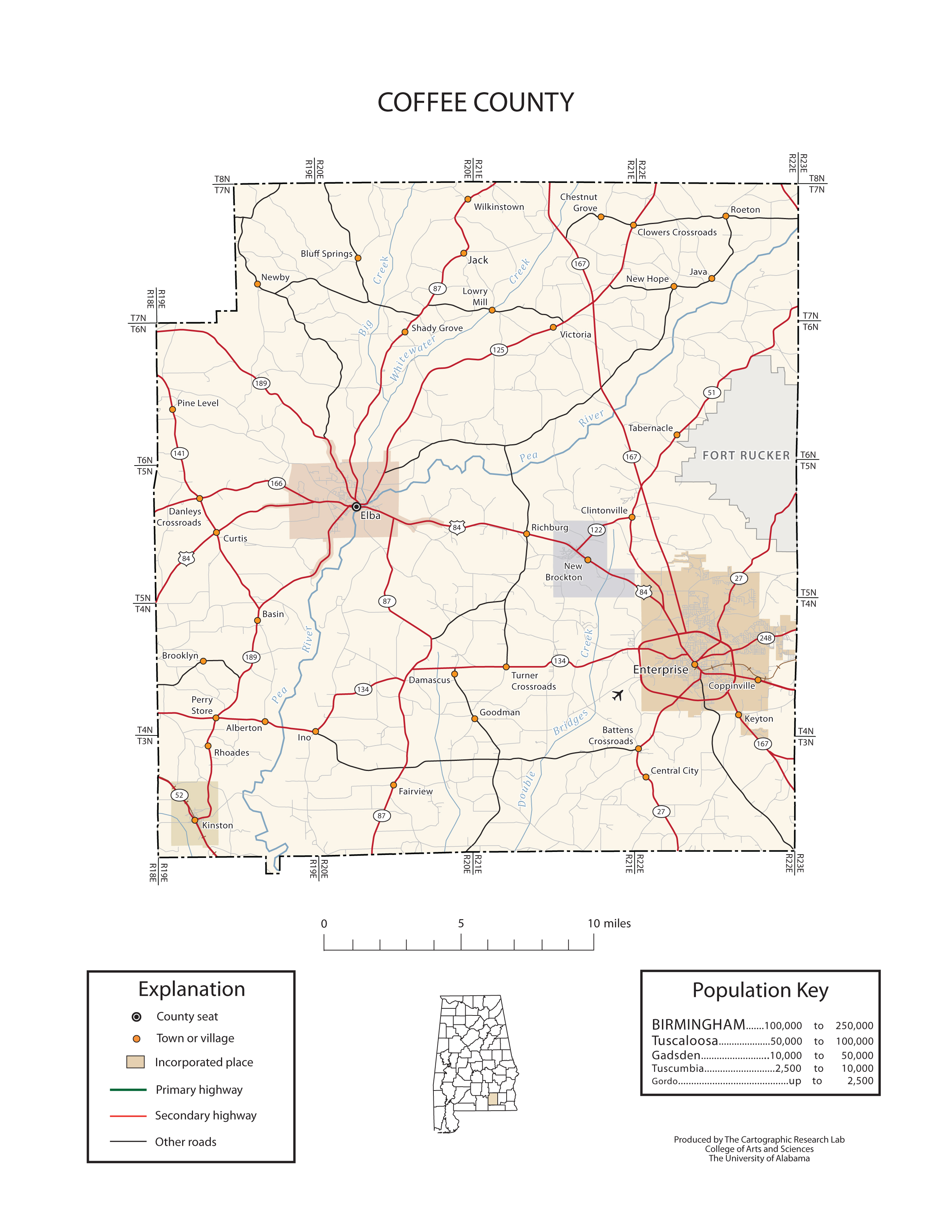
Major roads and towns
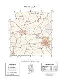
Coffee County Map

Sources...
Sanford, William. "Elba." Encyclopedia of Alabama. Alabama Humanities Foundation, 26 Oct 2012. Web. 20 Jan 2014. <http://www.encyclopediaofalabama.org/face/Article.jsp?id=h-2414>.
"Alabama Counties: Coffee County." Alabama Department of Archives and History. State of Alabama, 9 Apr 2010. Web. 20 Jan 2014. <http://www.archives.state.al.us/counties/coffee.html>.
Morton, Patricia Hoskins. "Alabama Counties: Coffee County." Encyclopedia of Alabama. Alabama Humanities Foundation, 22 Mar 2013. Web. 20 Jan 2014. <http://www.encyclopediaofalabama.org/face/Article.jsp?id=h-1325>.
"State & County QuickFacts." United States Census Bureau. United States Department of Commerce. Web. 3 Jan 2014.
Additional Information
Coffee County history page: Alabama Department of Archives and History.
Autauga County: The Encyclopedia of Alabama TM & © 2013. Alabama Humanities Foundation. All Rights Reserved. A service of Auburn University, The University of Alabama, and Alabama State Dept. of Education.
Map: Coffee County's major roads and towns.:
Prepared by the Department of Geography, College of Arts and Sciences, The University of Alabama.
General Highway Map: Coffee County, Alabama:
Prepared by the Alabama Department of Transportation, Bureau of Transportation Planning, Surveying and Mapping Division in cooperation with the U.S. Department of Transportation.
Coffee County, Alabama Genealogical Information: The USGenWeb Project: Keeping Internet Genealogy Free.
Coffee County, Alabama: United States Census Bureau: State & County QuickFacts.
Autauga County, Alabama: Official website of Coffee County Commission, Alabama.
Elba: The Encyclopedia of Alabama TM & © 2013. Alabama Humanities Foundation. All Rights Reserved. A service of Auburn University, The University of Alabama, and Alabama State Dept. of Education.
Elba, Alabama: Official Site of the City of Elba.
Alabama County Web Sites: State of Alabama: Alabama Directory.

Coffee Grounds
Fred S. Watson
Alabama County Selection Map: United States Census Bureau: State & County QuickFacts.
Alabama County Map with County Seat Cities: Geology.com.
Maps of Alabama Counties: University of Alabama: Alabama Maps.
Alabama Counties from Amazon.com
Coffee Grounds: A History of Coffee County 1840-1970, by Fred S. Watson. 299 pages. Publisher: Higginbotham, Inc., (1970)


